


Nearmap, a location intelligence provider to insurers, has announced the launch of a pre-built AI-powered tool that allows insurance carriers to analyze risk at the portfolio level.
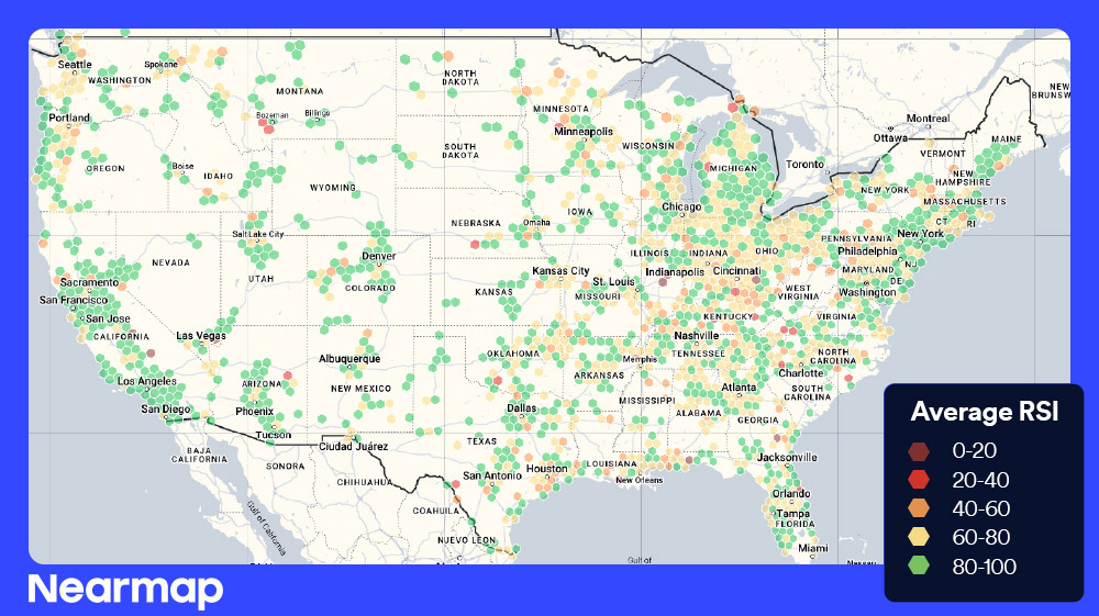
Portfolio Intelligence—available on the Betterview platform by Nearmap—enables users to explore routinely updated exposure aggregations across portfolios. The new product taps the company’s original, up-to-date aerial imagery and AI-powered risk detections and scores. Other data sources can also be introduced to further customize the interface.
The new, management-level product is positioned as an alternative to manual aggregation of property data from multiple sources to understand the full scope of portfolio health.
Dave Tobias, Nearmap’s general manager of insurance, explained in an interview that the original and timely data fed into the Portfolio Intelligence tool separates it from similar products carriers may have built internally.
“Many times, when I see these things that maybe were built in-house, they might’ve been built on one thing,” Tobias explained. “Like, show me a map of my policies against wildfire zones. But it never gets updated. It never gets changed again.”
He said Portfolio Intelligence was “built to be a tool that you can use every day.”
Nearmap has approximately 250 insurance carrier customers, including seven of the top 10 insurers ranked by direct written premium in the U.S. Imagery from proprietary camera systems on the company’s planes captured 1,940 urban and regional areas in North America and 87 percent of the U.S. population in the past year.

“For too long, insurers have been forced to manage risk property by property, making it difficult to scale and optimize portfolio performance,” Dave Tobias, GM of insurance at Nearmap, said in a press release.
“Portfolio Intelligence changes that by bringing AI-powered property intelligence to the portfolio-level, providing a clear, immediate view of risk distribution and portfolio health—without the delays of manual analysis. More importantly, it enables insurers to take proactive steps based on these insights, improving underwriting efficiency, minimizing losses, and identifying new growth opportunities.”
Tobias shared that Nearmap’s customers asked for a product like Portfolio Intelligence at a company executive summit in 2024. Beyond single property analysis, underwriting managers and others wanted to know: How does my book look?
Nearmap aims to answer that through its new product’s pre-built, configurable interface.
“I think in the industry we’ve continued to unlock more individual property data,” Tobias said, referencing granular measurables like wildfire risk, roof conditions and more. “But not many people in an integrated way have rolled any of that up to the portfolio.”
“So, that’s fine if I want to look at your house, and then your neighbor’s house, and then their neighbor’s house. I can pull up each one; I can run some automation on it maybe. But there’s not many tools, unless people have built them kind of in-house, where you’re rolling up all this super, let’s call it, high-definition property data to a portfolio.”
When Portfolio Intelligence was shared with executives several weeks ago, Tobias said multiple people told him they had planned to build something internally but no longer would. They hadn’t seen anything on the market that would solve this for them, he said.
“It’s a combination of the underlying data, the configurability of it and the technology to support it,” Tobias said. “I would say those three things have to be there. And since we are vertically integrated, … we’re able to control all of those different levers in a way that I don’t think other people can. You control the cameras, you control the planes, you control the AI—and then you kind of just keep going up the stack there.”
According to a Nearmap blog post, many insurers still lack a centralized, data-driven way to assess risk at scale. This leads to significant losses due to limited visibility into risk distribution across agencies and regions as well as high operational expenses due to manual data aggregation that slows down underwriting decisions, the blog said.

“A lot of times, the other vendors, or traditionally, insurers, will have data and maybe scores like a risk score,” explained Franco Chan, a product marketing manager at Nearmap. “They can do their integration [but] it’s not pre-built. You have to pull those in and do your manual analysis, so it’s a lot of fragmented systems and … it’s super inefficient.”
Chan explained that Nearmap’s Betterview platform allows insurers to flag property-level characteristics, such as the presence of a solar panel and a certain roof condition, for example, and then aggregate that information to the portfolio level. Combining Nearmap’s 130 property-level data points with the company’s risk scores as well as third-party data and first-party data from customers is “really powerful,” Tobias said.
He later said that wildfire, hurricane, wind and hail zones require daily monitoring and management. Every state now has catastrophe perils, Tobias said, and every carrier—small, midsize, regional and mutual—needs to operate with risk distribution in mind. He believes that tools and technology aren’t just important—they’re necessary.
“This is the first time we have built a tool that helps somebody in that management [or] executive position,” Tobias said, later adding, “We’ve had execs tell us that they’re going to keep this up every day on their second screen so they can see how it changes day in and day out.”
 What Analysts Are Saying About the 2026 P/C Insurance Market
  RLI Inks 30th Straight Full-Year Underwriting Profit
  How Americans Are Using AI at Work: Gallup Poll
  Winter Storm Fern to Cost $4B to $6.7B in Insured Losses: KCC, Verisk