The U.S. Congress passed the Coastal Barrier Resources Act in 1982 to preserve relatively undeveloped waterfront areas as natural buffer zones. At least 1.4 million acres along the Atlantic and Gulf coasts were made ineligible for the kind of federal expenditures that would encourage further development, such as infrastructure grants, subsidized flood insurance and funds for rebuilding after disasters. The goal was to check destruction from extreme weather, rein in costs to taxpayers and protect home values.
It worked, according to a new study in Nature Climate Change that assesses the impact of the law.
The authors of the paper find that, more than 40 years on, areas designated under the Coastal Barrier Resources System have 83% lower development densities than comparable tracts of land that aren’t part of the program, while areas neighboring these had densities 37% higher than comparable areas. This shows the policy effectively steered people to less risky places, the authors say. Moreover, the contiguous neighborhoods had relatively high property values, likely because the designated lands nearby provided flood protection. The study also found substantial savings to the federal National Flood Insurance Program through a reduction in flood damages.
Hannah Druckenmiller, the lead author, said the study offers a policy prescription for other at-risk parts of the country.
“We continue to see large increases in development in floodplains, including both coastal areas and inland floodplains. And we continue to see lots of development in wildfire-prone areas,” said Druckenmiller, an environmental economist at the California Institute of Technology and a fellow at Resources for the Future, a research nonprofit. “Those are two locations in the U.S. where we could actually implement similar policies when we’re thinking about how we preempt development.”
Damages from natural disasters are steadily rising in the U.S. and across the globe, contributing to an insurance crisis. Climate change, which is juicing extreme weather, is a big part of the problem, but exposure also plays a role. Americans are moving to regions that are prone to hurricanes, flooding, wildfires and hail damage.
The researchers decided to look at the legacy of the CBRA to understand what role federal policies played in these trends. To create a comparison group, they looked for pieces of land that not only met the criteria of those that were designated under the policy, but also had similar rates of development during the 30 years prior to 1982.
The CBRA was enacted with bipartisan support, says Druckenmiller, who thinks it could be a model for new legislation that checks rampant building in vulnerable areas. There are elements that could appeal to people across the political spectrum, she said: “There’s kind of an environmental protection dimension of limiting development, which might appeal to the left. But there’s also this withdrawal of government subsidies and intervention that might appeal to the right.”
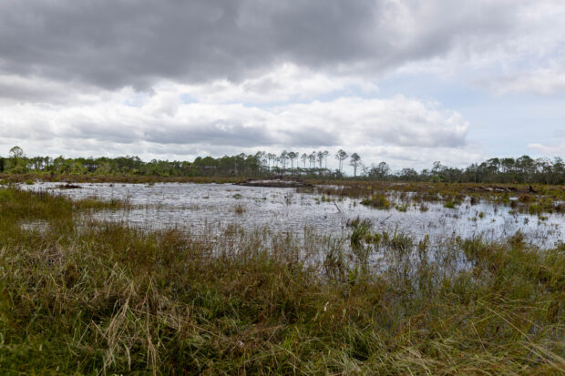
Photo: Flooding following Hurricane Idalia near Horseshoe Beach, Fla., on Aug. 30, 2023. Hurricane Idalia knocked out power to hundreds of thousands of Florida customers, grounding more than 1,800 flights and unleashing floods along far from where it came ashore as a Category 3 storm earlier Wednesday.
Listen on Zero: How to Turn Climate Risks Into Golden Opportunities


 Retired NASCAR Driver Greg Biffle Wasn’t Piloting Plane Before Deadly Crash
  Experts Say It’s Difficult to Tie AI to Layoffs
  How Americans Are Using AI at Work: Gallup Poll
  What Analysts Are Saying About the 2026 P/C Insurance Market


